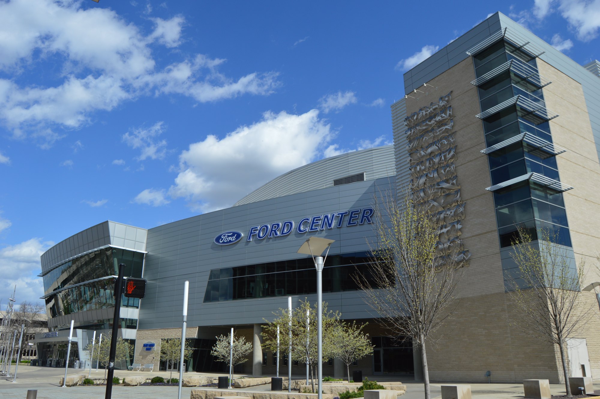
Ford Center viewed from Main Street in Evansville

Outdoors

Swimming holes and lakes near Evansville

Lakes, rivers and beaches near Evansville where swimming is allowed on public land.

13places to swim
50 mito the closest
May–Septemberbest months

Good to know: Most natural swimming areas have no lifeguard; check water-quality advisories and current conditions before swimming.

Closest picks

1

Tipsaw Lake

50 mi east · USDA Forest Service

The Tipsaw Lake Recreation Area is located on the shores of its namesake lake in south-central Indiana's Hoosier National Forest. It offers camping, picnic areas, boating, swimming, hiking, biking and educational programs.

3

Rough River Lake

62 mi southeast · US Army Corps of Engineers

The 5,100 acre Rough River Lake provides a wide variety of outdoor recreational opportunities. The U.S.

Map of all 13 places

Map of 13 places loads as you scroll.

30 to 75 miles (8)

50 mi east · USDA Forest Service · Campground

Tipsaw Lake

The Tipsaw Lake Recreation Area is located on the shores of its namesake lake in south-central Indiana's Hoosier National Forest. It offers camping, picnic areas, boating, swimming, hiking, biking and educational programs.

  • Biking
  • Boating
  • Camping
  • Fishing
  • Hiking
  • Hunting
  • Swimming

62 mi southeast · US Army Corps of Engineers

Rough River Lake

The 5,100 acre Rough River Lake provides a wide variety of outdoor recreational opportunities. The U.S.

  • Boating
  • Camping
  • Fishing
  • Hiking
  • Hotel/Lodge/Resort Privately Owned
  • Nature education
  • Picnicking
  • Swimming

64 mi southeast · US Army Corps of Engineers · Campground

Axtel

Axtel Campground is located on the shore of Rough River Lake in south central Kentucky.

  • Boating
  • Camping
  • Fishing
  • Swimming

65 mi southeast · US Army Corps of Engineers · Campground

Laurel Branch

Laurel Branch Campground is located on the shore of Rough River Lake in south central Kentucky.

  • Boating
  • Camping
  • Fishing
  • Swimming

65 mi east · US Army Corps of Engineers · Campground

North Fork (Ky)

North Fork Campground is located on the shore of Rough River Lake in south central Kentucky.

  • Boating
  • Camping
  • Fishing
  • Swimming

66 mi northeast · USDA Forest Service

Hoosier National Forest

Hoosier National Forest, in the hills of south central Indiana, provides a wide mix of opportunities and resources for people to enjoy.

  • Biking
  • Boating
  • Camping
  • Fire Lookouts/Cabins Overnight
  • Fishing
  • Hiking
  • Horse Camping
  • Horseback riding

72 mi southwest · US Army Corps of Engineers · Campground

Old Kuttawa

Old Kuttawa Recreation Area is on the northern shores of Lake Barkley, near the narrow canal linking it to Kentucky Lake. Together, these two reservoirs combine to create one of the greatest freshwater recreation areas in the country.

  • Boating
  • Camping
  • Fishing
  • Swimming

75 miles and farther (5)

76 mi southwest · US Army Corps of Engineers · Campground

Eureka

Eureka Campground sits on Lake Barkley among wooded rolling hills and abundant wildlife. Fishing is a well-loved sport here; Kentucky's largest yellow bass was caught in these waters, and anglers flock with hopes of breaking the record.

  • Biking
  • Boating
  • Camping
  • Fishing
  • Swimming
  • Water sports

77 mi southwest · US Army Corps of Engineers

Barkley Lake

Lake Barkley was named for former Vice-President Alben Barkley. Land Between the Lakes (US Forest Service) and Fort Donelson National Military Park are on Lake Barkley?s western shore.

  • Biking
  • Boating
  • Camping
  • Climbing
  • Fishing
  • Hiking
  • History
  • Hotel/Lodge/Resort Privately Owned

77 mi west · US Army Corps of Engineers · Campground

North Marcum Day Use Area

North Marcum Day Use Area— the perfect place to enjoy a wide variety of activities, events, and nature at its best. Rend Lake is made up of 20,633 acres of water and 19,523 acres of land.

  • Archery
  • Biking
  • Birding
  • Boating
  • Camping
  • Canoeing
  • Fishing
  • Hiking

94 mi southeast · National Park Service

Mammoth Cave National Park

Rolling hills, deep river valleys, and the world's longest known cave system. Mammoth Cave National Park is home to thousands of years of human history and a rich diversity of plant and animal life, earning it the title of UNESCO World…

  • Biking
  • Camping
  • Fishing
  • Hiking
  • Horse Camping
  • Horseback riding
  • Paddling
  • Swimming

108 mi northwest · US Army Corps of Engineers

Carlyle Lake

Water-oriented outdoor recreation opportunities including camping, picnicking, swimming, boating, fishing, and hunting. Expecially attractive to sailboaters. Illinois' largest lake.

  • Boating
  • Camping
  • Fishing
  • Hiking
  • History
  • Hotel/Lodge/Resort Privately Owned
  • Nature education
  • Picnicking

Distances are straight-line miles from downtown Evansville. Listings come from Recreation.gov’s federal recreation database; check each official page for hours, fees, fire restrictions and closures before you go.

Get outside around Evansville

More outdoors near Evansville

Questions

Where is the closest place for swimming near Evansville?

Tipsaw Lake (USDA Forest Service), about 50 miles east of Evansville as the crow flies. Next are Shawnee National Forest (58 mi) and Rough River Lake (62 mi).

When is the best time for swimming near Evansville?

Based on Evansville’s average highs, May–September. Conditions at higher elevations can be much cooler.

Who manages these places?

Federal agencies including US Army Corps of Engineers, USDA Forest Service, National Park Service. Each listing links to its official page for hours, fees, closures and current conditions.

Evansville AI

Your Evansville local guide
Hey there!

I'm Evansville AI. Ask about neighborhood food, independent shops, local history or planning a visit.

AI recommendations may be inaccurate. Verify hours and prices. Questions are processed by Cloudflare. Privacy